Map the Physical Terrain, Then Add Layers

Topography begins with “ground truth,” a basic relief map of the terrain, meaning a 3-D representation of elevation along with geographical features. To base terrain, a map maker adds layers of additional information to build up a complete topology. To one well-articulated terrain map, an essentially unlimited number of layers may be added singularly or in combination.
On top of the physical terrain, you can add one or more layers of information
 
Terrain maps typically include existing structures, like buildings and roads along with physical features
 
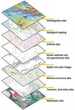
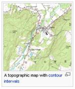
Google Earth presents a stitched together photograph of the surface terrain of the earth, complete with all the human structures that overlay the planet. The topographic and Earth photo represent the same ground reality at roughly the same scale


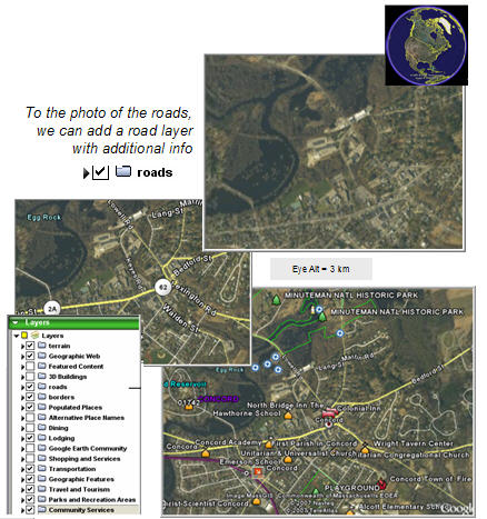
Same terrain map with lots of layers selected


| Home | Services | Speaking | Virtual Teams | OrgScope | Library | BlogIdeas l  About l Contact l


© 2011 NetAge, Inc. On the web since 1994